Geospatial Analysis: Skeleton Lake
The Township of Muskoka Lakes Official Plan
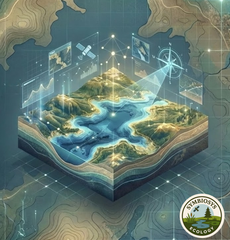
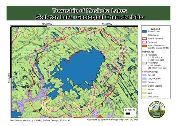
Our team interpreted geographic data to evaluate the effectiveness of the Township of Muskoka Lakes Official Plan Aggregates Policy K4 in relation to Skeleton Lake.
We used Geographic Information Systems (GIS) software using open-source data from local, regional, provincial, and national sources.
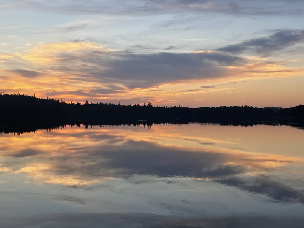
Skeleton Lake is a unique and environmentally sensitive lake. Formed by a meteorite impact thousands of years ago, it is much deeper than many other lakes in the area and is known for its exceptionally clear water. The lake naturally contains very few nutrients and maintains healthy oxygen levels throughout the water column, creating excellent conditions for fish and other aquatic life.
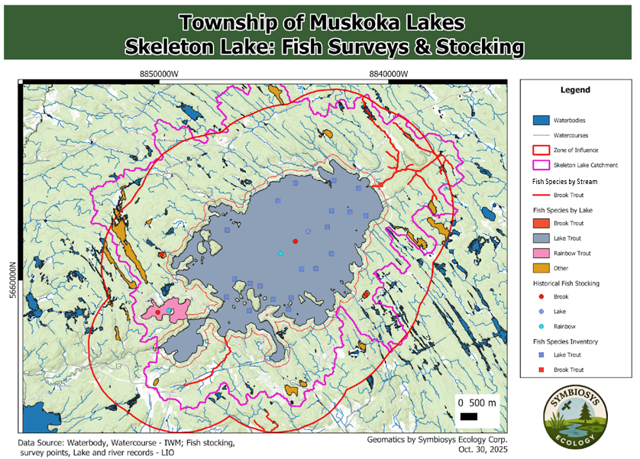
Because the lake is so naturally clean, even small amounts of extra nutrients—especially phosphorus—can have a significant impact. Too much phosphorus can cause algae growth, reduce oxygen levels, and harm the overall health of the lake ecosystem. As a result, protecting water quality is especially important for maintaining Skeleton Lake’s ecological integrity.
Overall Results & Recommendations
The Township’s 2 km protection zone is scientifically supported.
Analysis shows the area captures most of the watershed, streams, groundwater recharge areas, and wildlife movement corridors that help maintain the health of Skeleton Lake.
Aggregate extraction activities may be underreported.
Several active pits were identified that do not appear in provincial records, suggesting potential environmental pressures may be greater than currently documented.
Skeleton Lake is highly sensitive to environmental disturbance.
As a deep, nutrient-poor lake that supports species such as Lake Trout and Brook Trout, even small increases in nutrient inputs could lead to algae growth, oxygen loss, and long-term ecosystem damage.
Additional monitoring and conservation efforts are recommended.
Priorities include evaluating large wetlands, surveying streams to confirm Brook Trout habitat, updating natural heritage mapping, and exploring opportunities to protect key habitats through conservation initiatives.