
How can we support your project?

Natural Heritage Inventory
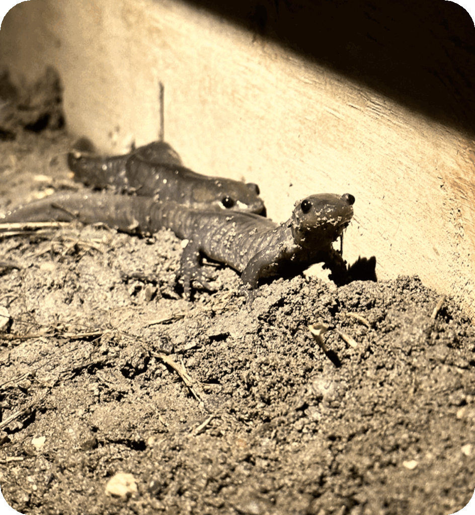
Our Natural Heritage Inventory service involves a comprehensive assessment of ecological features and functions within a specified area. We evaluate and map key natural heritage features such as woodlands, wetlands, fish and wildlife habitats. Our inventories are guided by current regulatory frameworks and best practices, and we ensure that all inventories are tailored to meet jurisdictional requirements. Our inventories include:
- Field surveys to document species, habitat, and vegetation communities
- Identification of significant ecological features
- Recommendations for protection, impact mitigation, and management of sensitive areas.
We use a variety of amazing technologies to collect information, such as underwater GoPro, BirdNET, Echo Meter, DJI Drone, HOBO Pendant Loggers, Garmin GPS, Lotek Litetrack Collars, Biomark PIT tags, LiDAR, and more.

Peer Review and Expert Opinion
Our Peer Review service provides science-based, objective analysis of ecological studies and reports, offering critical science insight to ensure each project meets regulatory and policy compliance. Our services include:
- Detailed review of environmental impact studies and supporting technical documents
- Expert testimony and technical representation in judicial hearings
Mapping and Remote Sensing
Our Mapping and Remote Sensing service provides analysis and visualization of landscapes from the perspectives of ecology, hydrology, geology, and anthropogenic. We deliver accurate representations of specified areas using geospatial technologies and field-based data. Our mapping services include:
- Forest, wetland and vegetation mapping
- Digital elevation and LiDAR models
- GIS-based analysis for impact assessments and natural heritage studies
- Custom cartographic representations for reporting and regulatory submissions